martes, 15 de diciembre de 2020

COLOCACIÓN DE GEOCACHÉ EN PISCINA NATURAL "PRETURA DEL MOLINO" FUENLABRADA DE LOS MONTES

  El pasado domingo 13/12/2020 realicé la visita a la piscina natural "Pretura del Molino" de Fuenlabrada de los Montes.

Last Sunday 12/13/2020 I visited the natural pool "Pretura del Molino" in Fuenlabrada de los
 Montes.

 Después de inspeccionar la zona, el objetivo ha sido la colocación de un nuevo geocaché. En dicha zona, encontramos un bonito entorno natural. El sitio está especialmente bien escogido y es muy agradable. Hay un sendero en la orilla contraria del río por el que se camina entre una vegetación frondosa, colocando barandillas y algunas pasarelas, lo que da como resultado un fresco paseo en plena naturaleza.

After inspecting the area, the objective has been to place a new geocache. In this area, we find a beautiful natural environment. The site is especially well chosen and very pleasant. 

There is a path on the opposite bank of the river through which you walk through lush vegetation, with railings and some walkways, which results in a cool walk in the midst of nature.


Desde allí arrancan además dos rutas senderistas más largas, una entre dehesas y otra alrededor del embalse, donde se pueden ver aves interesantes con facilidad.

Two longer hiking routes also start from there, one between meadows and the other around the reservoir, where interesting birds can easily be seen.


Se encuentra muy bien comunicado. Se accede por una pista señalizada que se inicia a poco más de 1 km desde el cruce entre la N-502 y la N-430, dirección a Ciudad Real por ésta última.

It is very well connected. It is accessed by a signposted track that begins just over 1 km from the junction between the N-502 and the N-430, heading towards Ciudad Real through the latter.


jueves, 10 de diciembre de 2020

Reubicación del Geocaché en el "Puente Viejo" con 4º ESO B/C Bilingüe

En esta salida volvimos a ir al Puente Viejo. Esta vez lo hicimos con 4º ESO B/C Bilingüe. El objetivo en esta ocasión era colocar 

On this outing we went back to the Old Bridge. This time we did it with 4th ESO B / C 
Bilingual. The objective this time was to place


el nuevo Geocaché en su nueva ubicación.

the new Geocache in its new location.


Búsqueda de nueva ubicación del Geocaché del "Puente Viejo" 1º Bachillerato

El 29 de octubre de 2021, realicé dos salidas consecutivas con los dos 1º de Bachillerato. El objetivo de la salida era intentar encontrar una posible nueva ubicación para el nuevo Geocaché además de cumplir otros objetivos propios de la sesión de Educación Física. Adjunto fotos de dichas salidas con ambos grupos.

On October 29, 2021, I went to two consecutive trips with both 1st year of Baccalaureate groups. The objective of the trip was to find a possible new location for the new Geocache in addition to fulfilling other objectives of the Physical Education session. I attach photos of these outings with both groups.


En busca del Geocaché del "Puente Viejo" con 2º de Bachillerato

El 27 de octubre, con algunas de las alumnas matriculadas en Actividad Física y Deporte de 2º de Bachillerato, realizamos la salida al puente viejo de Herrera del Duque para comprobar el estado del Geocaché que allí debería estar colocado. Cuando llegamos allí, pudimos comprobar que el Geocaché no se encontraba allí y que el lugar donde debía encontrarse estaba deteriorado.

On October 27, together with some of the students of Physical Activity and Sports 
from the 2nd year of Baccalaureate, we went to the old bridge of Herrera del Duque to 
check the status of the Geocache that should be placed there. When we got there, we were 
able to verify that the Geocache was not there and that the place where it should be found 
was damaged.


Aquí adjuntos algunas fotos de dicha salida.
Here are some photos of this outing.


ALUMNOS DE 4º ESO PRACTICANDO GEOCACHING POR LA RESERVA DE LKA BIOSFERA: SIBERIA EXTREMEÑA


 Los alumnos de 4º de ESO de la materia Biología y Geología han realizado una ruta en bici hasta el Merendero del Cubo para encontrar el geocaché del Proyecto de Innovación Educativa "Geocaching por la Reserva de la Biosfera: Siberia Extremeña".

Una ruta con un importante repecho hasta llegar al merendero. La experiencia ha sido muy gratificante y están deseando repetir.


The 4th year ESO students of Biology and Geology have done a bike route to the "Merendero del Cubo" to find the geocache of the Educational Innovation Project "Geocaching for the Biosphere Reserve: Siberia Extremeña". This is a route with a significant slope until reaching the picnic area. The experience has been very rewarding and they are looking forward to repeating it.


miércoles, 2 de diciembre de 2020

COLOCACIÓN DEL GEOCACHÉ EN LA FUENTE DEL MADROÑAL (VALDECABALLEROS)


Francisco, alumno de Biología y Geología de 1º BTO, ha colocado un geocachés en La Fuente del Madroñal, en la localidad de Valdecaballeros. 

Es un lugar con una vegetación propia del bosque mediterráneo, y humedales. La zona se caracteriza por la presencia de la dehesa con ganadería extensiva, huertas y pinares.

Francisco, a 1st BTO Biology and Geology student, has placed a geocache in "La Fuente del Madroñal", in the town of Valdecaballeros. It is a place with vegetation typical of the Mediterranean forest and wetlands. The area is characterized by the presence of "dehesa" with extensive livestock, orchards and pine forests.


martes, 1 de diciembre de 2020

COLOCACIÓN DE UN NUEVO GEOCACHE PUERTO DE CONSOLACIÓN-CUEVA DE LA CULEBRA.

 Un nuevo curso, ampliando proyecto, descubriendo nuevos lugares para ubicar nuestro caché Benazaire y que el alumnado lo geolocalice valorando la belleza de esta espectacular zona.

Nos adentramos en la Siberia eligiendo la mejor panorámica desde el Puerto de Consolación al que se accede desde el camino rural que sale de Herrera del Duque hasta la Ermita de Consolación localizada en el Valle del mismo nombre.


A new school year, expanding the project, discovering new places to locate our Benazaire 
cache and for the students to geolocate it, valuing the beauty of this spectacular area.

We enter Siberia choosing the best panoramic view from the Puerto de Consolation which is 
accessed from the rural road that leaves from Herrera del Duque to the Hermita de 
Consolation located in the Valley of the same name.


En la subida del puerto paramos y en este lugar nos encontramos, desde el punto de vista geológico sobre el flanco norte del citado sinclinal.

El Puerto de Consolación donde se ven los potentes paquetes de cuarcita inclinadas hacia el sur, desde este punto se observa en primer término el Valle de Consolación.

La vegetación es muy variada y su fauna es aún más rica.

Llegamos al Puerto de Consolación, al frente tomaremos dirección la Ermita de Consolación ubicada en el Valle de Consolación.


On the ascent of the pass we stop and in this place we find ourselves, from the geological
 point of view, on the north flank of the aforementioned syncline.

The Port of Consolation where you can see the powerful quartzite packages leaning towards 
the south, from this point you can see in the foreground the Valley of Consolation.

The vegetation is very varied and its fauna is even richer.

We arrive at the Port of Consolación, straight ahead we will head towards the Ermita de 
Consolación located in the Valle de Consolación.


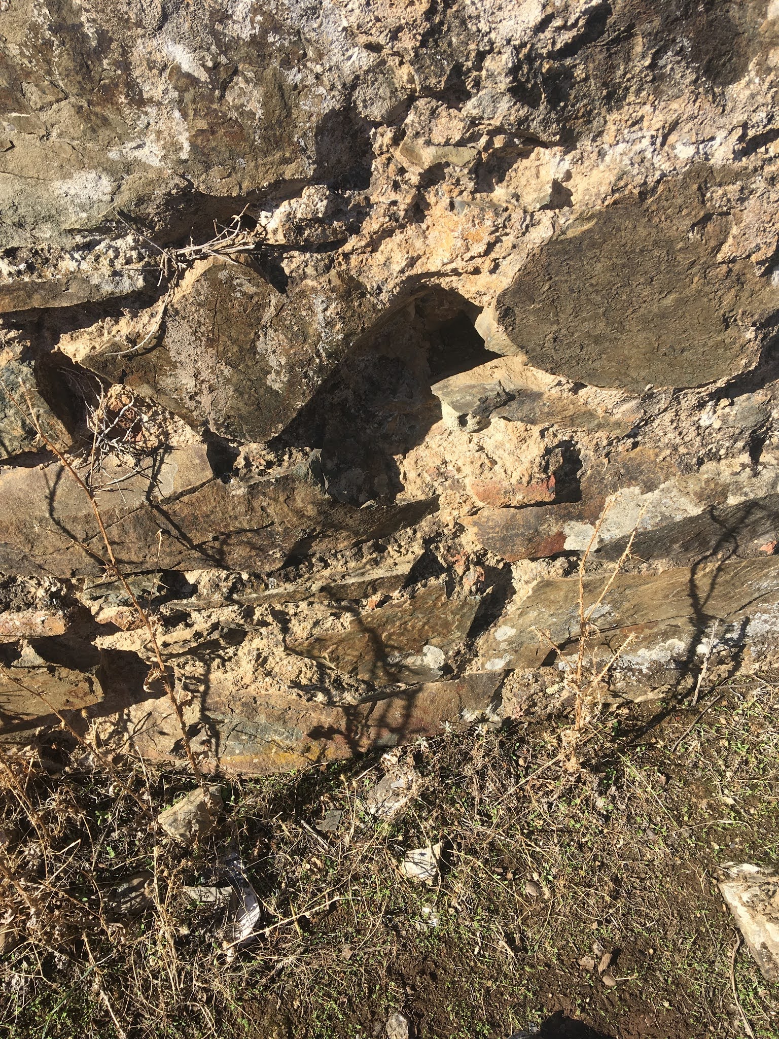
Tomamos dirección hacia la izquierda, (Puerto de Consolación), mediante un pequeño sendero llegamos a la cueva de La Culebra, donde se aprecia el resalte de la piedra Cuarcita, una pequeña cueva con una panorámica espectacular donde aguarda nuestro caché.

We head to the left, (Puerto de Consolación), through a small path we reach the
 cave of La Culebra, where we can see the prominence of the Cuarcita stone, a small cave
 with a spectacular panoramic view where our cache awaits.


Cruzamos la pequeña cueva y en la salida tendremos un paisaje que nos brinda la riqueza de Herrera del Duque y Peloche.

We cross the small cave and at the exit we will have a landscape that offers us the wealth 
of Herrera del Duque and Peloche.


A media altura y entre la piedra cuarcita se esconde nuestro caché.

At mid-height and between the quartzite stone our cache is hidden.


Coordenadas de geolocalización
                            Geolocation coordinates


Si nos situamos de espaldas a dicha geolocalización veréis a vuestra derecha el castillo-fortaleza de Herrera del Duque, situado en las inmediaciones del municipio. 

Ubicado en una elevación del terreno en la sierra Chamorro de 745 m s n m.


If we stand with our back to the geolocation, you will see on your right the castle-fortress
 of Herrera del Duque, located in the vicinity of the municipality.

Located in an elevation of the land in the Sierra Chamorro of 745 m s n m.


A la izquierda podréis ver  Peloche.

Se caracteriza por su ubicación en un entorno natural privilegiado junto a las aguas del Embalse de García Sola, Puerto Peña.

On the left you can see Peloche.

It is characterized by its location in a 
privileged natural environment next to the 
waters of the García Sola Reservoir, Puerto 
Peña.


Será un auténtico placer para todos vuestros sentidos  localizar  este caché en la Siberia.


It will be a real pleasure for all your senses to locate this cache in Siberia


COLOCACIÓN DEL GEOCACHÉ EN EL VALLE DE LA POSADA (FUENLABRADA DE LOS MONTES)

 Las alumnas de 1º BTO de Biología y Geología, Lucía, Ivonne, Nuria, Lucía Cabrera y Álvaro de 2º BTO de Geología han colocado un geocaché en EL Valle de la Posada, paraje de Fuenlabrada de los Montes donde podemos encontrar un pinar caracterítico en uno de sus cruces de caminos.

Os invitan a conocer su entorno natural!!


The students of 1st BTO of Biology and Geology, Lucía, Ivonne, Nuria, Lucía Cabrera and Álvaro of 2nd BTO of Geology have placed a geocache in "El Valle de la Posada" a place of Fuenlabrada de los Montes where we can find a characteristic pine forest at one of its crossroads.

They invite you to get to know its natural environment!!


COLOCACIÓN DEL GEOCACHÉ EN LA CALLEJA DEL DIABLO (FUENLABRADA DE LOS MONTES)


Dos alumnas de 1º BTO, Berta y María, que cursan Biología y Geología, han salido a colocar el geocaché en La Calleja del Diablo. Su nombre se debe a que la calleja es angosta y de larga distancia, comparada con las demás callejas aledañas a la localidad.

Una experiencia emocionante y a la vez tenebrosa para estas dos chicas.


Two students of 1st BTO, Berta and María, who are studying Biology and Geology, have gone out to put the geocache in "La Calleja del Diablo". Its name is due to the fact that the alley is narrow and long compared to the other alleys surrounding the town.

An exciting and also gloomy experience for these two girls.


COLOCACIÓN DEL GEOCACHÉ ENLA FUENTE DEL JARILLO (CASTILBLANCO)


 Sara , alumna de 1º BTO y Celia, de 4º ESO, ambas de la materia Biología y Geología, han salido a colocar el geocaché en una fuente singular situada en su localidad, Castilblanco. Su deseo es mostrar lugares singulares y caracteríticos al senderista, ciclista, turista, curioso, etc., y dar a conocer su entorno.

Sara, student of 1st BTO and Celia of 4th ESO, both of the subject of Biology and Geology, have gone out to put the geocache in a singular fountain located in their village, Castilblanco. They want to show some characteristic and singular places to hikers, cyclists, tourists, onlookers, etc, and make its environment known


REVISANDO EL GEOCACHE DEL CASTILLO DE HERRERA DEL DUQUE

 El pasado miércoles, 22 de abril de 2026, el alumnado de 1º DIVER, acompañado por sus profesoras Ana y Auxi, disfrutó de una salida en el ...